Introduction
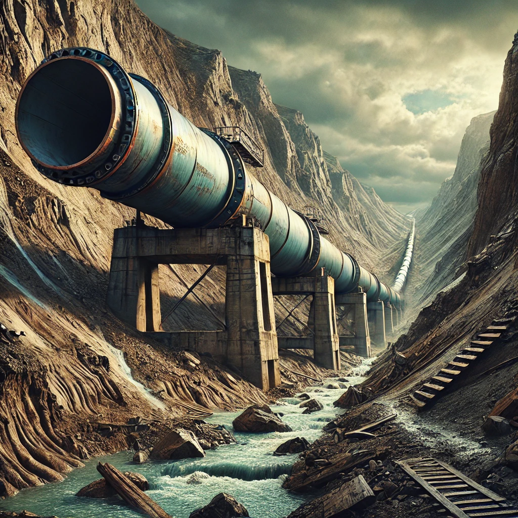
Pipeline engineering is a critical field responsible for the transportation of essential resources such as oil, gas, and water over vast distances. These pipelines often traverse challenging terrains, including mountainous regions, rivers, and seismic zones, exposing them to a variety of geohazards. Geohazards, such as landslides, earthquakes, and subsidence, pose significant risks to the structural integrity and safety of pipelines. Therefore, understanding and analyzing geohazard quantities is vital for ensuring the safe and efficient operation of pipeline systems.
This article delves into the technical aspects of geohazard quantities analysis for pipeline engineering. It explores the types of geohazards, methods of quantifying them, and strategies for integrating these analyses into the design and maintenance of pipeline systems.
Types of Geohazards Affecting Pipelines
1. Landslides
Landslides are one of the most common geohazards affecting pipelines, especially in hilly or mountainous terrains. They occur when the stability of a slope is compromised, causing soil, rock, and debris to move downward. The magnitude and velocity of landslides can vary greatly, making it essential to quantify these factors accurately. Key parameters include the volume of material, slope angle, and the speed of movement.
2. Earthquakes
Seismic activity can cause significant ground shaking, fault movement, and soil liquefaction, all of which can severely damage pipelines. The intensity of seismic events is usually quantified using the Richter scale or moment magnitude scale, while the ground shaking is measured by peak ground acceleration (PGA). These quantities are critical for assessing the potential impact on pipelines.
3. Soil Liquefaction
Soil liquefaction occurs when saturated, unconsolidated soils lose their strength and stiffness in response to an applied stress, typically due to earthquake shaking. This phenomenon can cause buried pipelines to float or buckle, leading to ruptures. The potential for soil liquefaction is often quantified using the Liquefaction Potential Index (LPI), which takes into account soil properties, depth of water table, and seismic loading.
4. Subsidence
Subsidence is the gradual sinking or settling of the ground surface, which can occur due to natural processes like the dissolution of underground minerals or human activities such as mining and groundwater extraction. Subsidence can impose tensile and compressive stresses on pipelines, leading to deformation or failure. The rate and extent of subsidence are crucial quantities that need to be measured and monitored.
5. Flooding and Erosion
Flooding and associated erosion can undermine the support for pipelines, especially those laid across rivers or coastal areas. The magnitude and frequency of flooding events, coupled with the rate of erosion, are critical factors in assessing the risk to pipelines. Hydrological models and erosion rate calculations are typically used to quantify these hazards.
Quantification of Geohazard Quantities
Accurate quantification of geohazard quantities is a complex process that involves field investigations, remote sensing, geotechnical analysis, and probabilistic modeling. The following sections outline the methodologies used for quantifying key geohazard parameters.
1. Field Investigations
Field investigations are the cornerstone of geohazard analysis. These investigations involve site-specific surveys to assess the geological and geomorphological conditions that may pose risks to pipelines. Techniques such as borehole drilling, geophysical surveys, and soil sampling are used to gather data on soil composition, moisture content, and stratigraphy. In the case of landslides, for example, inclinometer readings can be used to monitor slope movement, while for seismic hazards, trenching across fault lines can provide insights into the history of fault activity.
2. Remote Sensing and GIS
Remote sensing technologies, such as satellite imagery, LiDAR (Light Detection and Ranging), and aerial photography, play a crucial role in the large-scale monitoring and analysis of geohazards. These technologies allow for the mapping of terrain, identification of active fault lines, and monitoring of land surface deformations over time. Geographic Information Systems (GIS) are used to integrate and analyze this spatial data, enabling engineers to visualize hazard zones and assess the proximity of pipelines to these areas.
3. Geotechnical Analysis
Geotechnical analysis involves the study of soil and rock mechanics to assess the stability of the ground supporting a pipeline. This analysis includes determining the shear strength, compressibility, and permeability of soils, which are essential for evaluating the risk of landslides, liquefaction, and subsidence. Laboratory tests such as triaxial compression tests and direct shear tests are commonly conducted to obtain these parameters. Numerical modeling, such as finite element analysis (FEA), is then used to simulate the behavior of soils and predict the response of pipelines to geohazards.
4. Probabilistic Hazard Assessment
Given the inherent uncertainties in predicting geohazards, probabilistic methods are often employed to quantify the likelihood of occurrence and potential impact on pipelines. Probabilistic Seismic Hazard Analysis (PSHA) is a widely used approach for assessing earthquake risks, where the probability of different levels of ground shaking is estimated based on historical seismicity and fault characteristics. Similarly, for landslides, probabilistic models consider factors such as rainfall intensity, slope angle, and soil properties to estimate the probability of slope failure.
5. Monitoring and Early Warning Systems
Continuous monitoring and early warning systems are vital for managing geohazard risks throughout the lifecycle of a pipeline. Instruments such as accelerometers, strain gauges, and piezometers are installed along pipelines to detect ground movement, strain, and pore water pressure changes in real-time. Data from these instruments are used to update geohazard models and trigger alarms when critical thresholds are exceeded, allowing for timely mitigation actions.
Integrating Geohazard Analysis into Pipeline Engineering
The integration of geohazard analysis into pipeline engineering is essential for ensuring the long-term safety and reliability of pipeline systems. This process involves several key steps:
1. Route Selection
During the initial planning stages, geohazard analysis plays a critical role in selecting the optimal route for a pipeline. By overlaying geohazard maps with proposed pipeline routes, engineers can avoid areas with high risk or design appropriate mitigation measures if avoidance is not feasible. For example, pipelines may be rerouted to avoid active fault lines or areas prone to landslides.
2. Design Considerations
Once the route is selected, the design of the pipeline must account for the identified geohazards. This may involve selecting materials with higher tensile strength, designing flexible joints to accommodate ground movement, or increasing the wall thickness of pipelines in areas prone to erosion. In seismic zones, pipelines may be anchored to bedrock or placed on specially designed foundations to reduce the risk of damage during an earthquake.
3. Construction and Installation
During construction, geohazard analysis informs the selection of construction techniques and equipment. For instance, in areas with high landslide risk, excavation and grading may be minimized, and retaining structures such as gabion walls or soil nails may be installed to stabilize slopes. In seismic regions, specialized welding techniques may be employed to enhance the ductility of pipeline joints.
4. Operation and Maintenance
Even after construction, geohazard risks continue to evolve, necessitating ongoing monitoring and maintenance. Regular inspections, combined with data from monitoring instruments, are used to assess the condition of the pipeline and identify any emerging threats. Maintenance strategies may include proactive measures such as slope stabilization, drainage improvements, and erosion control to mitigate the impact of geohazards.
5. Emergency Response Planning
Despite all precautions, the possibility of a geohazard-induced pipeline failure cannot be entirely eliminated. Therefore, emergency response plans must be developed to minimize the impact of such events. These plans typically include procedures for shutting down the pipeline, containment of spills, and coordination with local authorities for evacuation and remediation efforts.
Geohazard quantities analysis is a critical component of pipeline engineering, ensuring that pipelines are designed, constructed, and operated in a manner that minimizes the risk of failure due to natural hazards. By understanding the types of geohazards, employing advanced quantification techniques, and integrating these analyses into every stage of pipeline development, engineers can significantly enhance the safety and reliability of these vital infrastructure systems.
As pipelines continue to be built in increasingly challenging environments, the role of geohazard analysis will only grow in importance. Future advancements in remote sensing, modeling, and monitoring technologies will further enhance the ability of engineers to predict and mitigate geohazard risks, contributing to the safe and sustainable transport of resources across the globe.